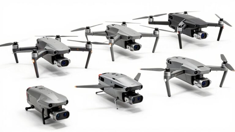
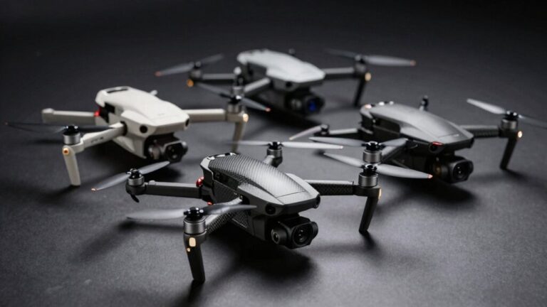
You’ll find DJI’s Mini 5 Pro and Mavic 4 Pro leading the market, with the former packing a 1-inch 50MP sensor into a 250g frame and the latter sporting a Micro Four Thirds sensor for professional work. The Air 3S offers dual-camera versatility with 1-inch wide-angle and 48MP telephoto lenses, while Autel’s EVO II Pro V3 delivers 6K recording with adjustable aperture control. Your choice depends on sensor size requirements, weight restrictions, and budget—with options spanning from sub-$500 Mini 4K models to premium platforms exceeding $1500 that reveal advanced multi-camera systems and extended flight times.
Market-Leading Camera Drones and Their Standout Features
Several manufacturers now dominate the aerial photography market, but DJI’s ecosystem sets the benchmark with sensor technology and flight performance that directly impact image quality. You’ll find camera specifications ranging from the Mini 5 Pro’s 250g frame housing a 1-inch 50MP sensor to the Mavic 4 Pro’s Micro Four Thirds 25MP system with Hasselblad tuning. The Air 3S bridges these tiers with dual cameras—a 1-inch 50MP wide-angle and 1/1.3-inch 48MP telephoto delivering 3x optical zoom. Image stabilization advances through 360° gimbal systems and LiDAR-enhanced obstacle avoidance, critical for low-light operations. Autel’s EVO II Pro V3 challenges this dominance with adjustable f/2.8-f/11 aperture and 6K recording. The DJI Mini 4 Pro offers sub-249g weight with omnidirectional obstacle sensing, making it accessible for beginners while delivering professional-quality results. DJI’s lightweight models under 250g benefit from true vertical shooting capabilities for unique composition angles. Competitive alternatives like Skydio drones provide superior AI tracking and low-light performance for users seeking options beyond DJI’s established ecosystem. Budget-friendly GPS drones such as the ProMark P70 with Return to Home functionality appeal to recreational users prioritizing stability and ease of use. For budget-conscious buyers, affordable options under $100 like the Contixo F19 and 4DRC V8c provide entry-level features such as obstacle avoidance and 1080P cameras with foldable designs. Variable apertures, 10-bit color profiles, and multi-camera arrays now define professional-grade platforms. The Mavic 4 Pro’s parallel charging capability enables simultaneous charging of up to three batteries, streamlining workflow during extended shooting sessions.
Understanding Sensors and Image Quality in Aerial Photography
The sensor acts as your drone’s digital retina, transforming light into the pixels that define your aerial imagery‘s technical ceiling. Different sensor types deliver measurably distinct results: 1/2.3-inch sensors suit recreational flying, while 1-inch variants elevate image quality through enhanced low-light capture and reduced noise. APS-C and full-frame sensors dominate professional applications, delivering maximum detail and dynamic range.
Resolution standards matter—4K minimum guarantees sharp footage with post-production flexibility. Gimbal stabilization counteracts flight dynamics, while specialized sensor types expand capabilities: LiDAR generates terrain maps, thermal cameras reveal heat signatures, and multispectral sensors analyze agricultural health. Advanced systems can integrate LiDAR and photogrammetry to create comprehensive 3D colorized point clouds during a single flight. Professional-grade drones like the DJI Matrice 350 RTK combine multiple sensor types with RTK precision for mapping applications requiring centimeter-level accuracy. Models such as the DJI Air 3S feature dual lenses and LiDAR obstacle avoidance, enabling both exceptional image capture and enhanced flight safety for diverse photography scenarios. Budget-friendly options with 3-axis gimbal stabilization provide consumers with smoother footage and improved video quality at accessible price points.
Your sensor choice directly determines noise levels, sharpness, and usable ISO range. The DJI Mavic 3 Pro with its Hasselblad 4/3-inch CMOS sensor exemplifies how premium imaging components deliver superior detail in professional aerial work. Larger sensors capture more photons per pixel, translating to cleaner images in challenging lighting conditions. The triple camera system found in flagship models provides photographers with versatile focal lengths for comprehensive aerial documentation.
Flight Performance Metrics That Impact Your Shots
When you press the throttle, flight performance variables immediately begin shaping your aerial imagery’s technical outcome—speed, altitude, path geometry, and payload weight form an interconnected system that determines ground sampling distance, motion blur thresholds, coverage efficiency, and battery endurance.
Flight speed directly impacts motion blur; fixed-wing platforms at 11 m/s require ~1/1000s shutter to limit blur to 1.1 cm. Faster speeds reduce image overlap, degrading photogrammetric tie-point redundancy and 3D reconstruction quality.
Altitude selection drives your ground sample distance—higher flight yields coarser GSD, reducing per-pixel detail. Typical survey operations maintain 1–10 cm GSD. Accuracy commonly scales at 1×GSD horizontally, 1–3×GSD vertically without RTK/PPK correction. Ascending consumes the most energy among flight maneuvers, requiring careful battery planning when capturing imagery at varied elevations. Selecting a camera drone with obstacle avoidance capabilities helps protect your investment during complex altitude changes around terrain and structures.
Overlap percentages control reconstruction reliability: 60–80% forward, 30–70% side. Payload weight reduces endurance proportionally, demanding careful power-to-coverage trade-offs. For precision applications requiring payload drops, payload drop reliability becomes critical to mission success and ground efficiency. Portable options with omnidirectional sensing enable more adaptive flight patterns while maintaining consistent image quality during complex tracking scenarios. Models featuring LED lighting for night visibility extend operational windows into low-light conditions, allowing photographers to capture imagery during dawn, dusk, or specialized nocturnal missions. Ensure your remote controller and drone are properly linked before flight to maintain reliable communication throughout your mission.
Safety Systems and Obstacle Avoidance Technologies
As your drone shifts from manual piloting to autonomous flight paths, onboard safety systems shift from optional conveniences to mission-critical infrastructure that determines whether you’ll complete the survey or trigger an emergency return-to-home. Forward-facing cameras paired with ultrasonic and infrared sensors enable real-time object detection within VLOS parameters mandated by safety regulations. Multi-directional LiDAR creates 360-degree collision maps, while automated braking halts flight when obstacles breach safe distances. Navigation systems integrate GPS with 10+ satellites for stable positioning during complex maneuvers. Thermal imaging detects heat anomalies in low-visibility conditions, expanding operational windows beyond standard daylight photography. Heavy-lift cargo drones like the DJI FlyCart 30 demonstrate how advanced sensor integration extends beyond photography to specialized transport applications requiring precision obstacle avoidance. Fixed-wing LiDAR platforms such as the Quantum Systems Trinity F90+ provide survey-grade precision for extended autonomous missions over large areas. Mechanical release mechanisms such as servo-based hooks provide fail-safe payload deployment when integrating cargo operations with autonomous flight safety protocols. Before executing autonomous flight operations, operators must complete controller synchronization with their drone to ensure all systems communicate properly. For extended autonomous missions, selecting a drone equipped with high power-to-weight ratio battery systems ensures sustained sensor operation and extended flight endurance. Securing the data transmission between your drone and ground control station prevents unauthorized access to flight telemetry and captured imagery during aerial photography missions. FAA Part 107 compliance requires altitude caps at 400 feet and preflight verification of all sensor functionality before mission execution.
Matching Drone Capabilities to Your Photography Goals
Your photography objectives determine which sensor size, lens configuration, and processing capability you’ll need before considering flight time or transmission range. For professional multi-focal work, the Mavic 3 Pro’s wide-angle plus 3x and 7x telephoto setup delivers unmatched versatility. The Air 2S’s 1-inch sensor size provides superior clarity for high-resolution deliverables. Enthusiasts requiring portability should evaluate the Mini 4 Pro’s 48MP sensor with 10-bit D-Log M against the Flip’s matching specifications. The Air 3S adds Free Panorama mode with dual lenses and extended storage capacity. Advanced drone stabilization appears across DJI’s O4 transmission models, while Skydio 2+ prioritizes automated tracking over manual controls. The DJI Mavic 3 Pro features a Hasselblad 4/3-inch CMOS sensor capable of 5.1K video recording, setting a professional standard for aerial cinematography. For maximum flight endurance, the Mavic 4 Pro offers up to 51 minutes of flight time, allowing photographers to cover larger areas and complete complex shots in a single battery cycle. Budget-conscious photographers can find capable alternatives in Holy Stone’s lineup, with models like the HS900 offering subject tracking and time-lapse capture for beginners seeking professional-grade features at a lower price point. Match sensor capabilities to output requirements rather than selecting features you won’t utilize. Models with 3-axis gimbals provide the smooth stabilized footage essential for professional-quality aerial videography.
Evaluating Cost Versus Performance Trade-Offs
Drone pricing reflects direct performance capabilities rather than arbitrary market positioning, with budget models under $500 delivering registration-free convenience through sub-250g designs while compromising sensor size and flight duration. You’ll find the DJI Mini 4K offers 4K video at minimal investment, while the Mini 5 Pro’s 1-inch sensor approaches professional quality at $499. Mid-range options ($500-$1500) achieve best possible performance balance—the Air 3S provides 45-minute flights, dual cameras, and LiDAR obstacle avoidance at $1099. Premium models exceed $1500, with the Mavic 3 Pro’s triple-camera system and Hasselblad sensor justifying costs through telephoto versatility despite shorter 25-30 minute flights. Cost efficiency peaks in mid-range territory, where dual-lens capabilities and extended battery life offset registration requirements without premium-tier expenses.
Essential Factors to Consider Before Your Purchase
Before committing to a drone purchase, you’ll need to align camera specifications with your intended photographic applications rather than chasing flagship features. Sensor size directly impacts image quality—1-inch CMOS sensors deliver superior low-light performance and dynamic range compared to smaller 1/1.3-inch variants, critical for professional aerial photography. Match resolution to your output requirements: 12MP suffices for 4K video, while 50MP enables large-format prints and extensive cropping flexibility.
Battery life determines operational efficiency. Models offering 40+ minutes enable thorough site surveys without multiple battery swaps, whereas 27-minute variants limit creative freedom. The DJI Air 3S exemplifies this advantage with its 40-minute flight capability, allowing extended operational periods for comprehensive coverage. Consider pairing your drone with hot-swappable batteries like the TB65 system to maximize shooting time on extended expeditions. For infrastructure and complex environments, fixed-wing and hybrid VTOL platforms like the senseFly eBee X provide superior endurance and wind resistance for large-area coverage. Travel-friendly ultralight models like the DJI Mini series offer portability advantages for photographers prioritizing portability over extended flight duration. LiDAR technology integration further enhances flight safety by providing omnidirectional obstacle avoidance** capabilities that work effectively even in low-light conditions. Evaluate gimbal stabilization against your movement requirements—3-axis systems handle standard flights, but 360° configurations** release advanced cinematography angles. Prioritize omnidirectional obstacle avoidance for complex environments where collision risks compromise equipment investment and mission success. For professional surveillance applications, consider drones with multi-camera synchronization to capture data from multiple angles simultaneously, enabling enhanced 3D mapping and comprehensive situational awareness.